Civic common
Central Green
The old meeting lawn beside the original mill lot, now used for markets, ceremonies, school concerts, and summer shade.
Best first stopPlaces / public map
The town is easiest to understand through four anchors: the old civic green, the stone bridge, the north houses, and the creekside walk back through the trees.
The old meeting lawn beside the original mill lot, now used for markets, ceremonies, school concerts, and summer shade.
Best first stop
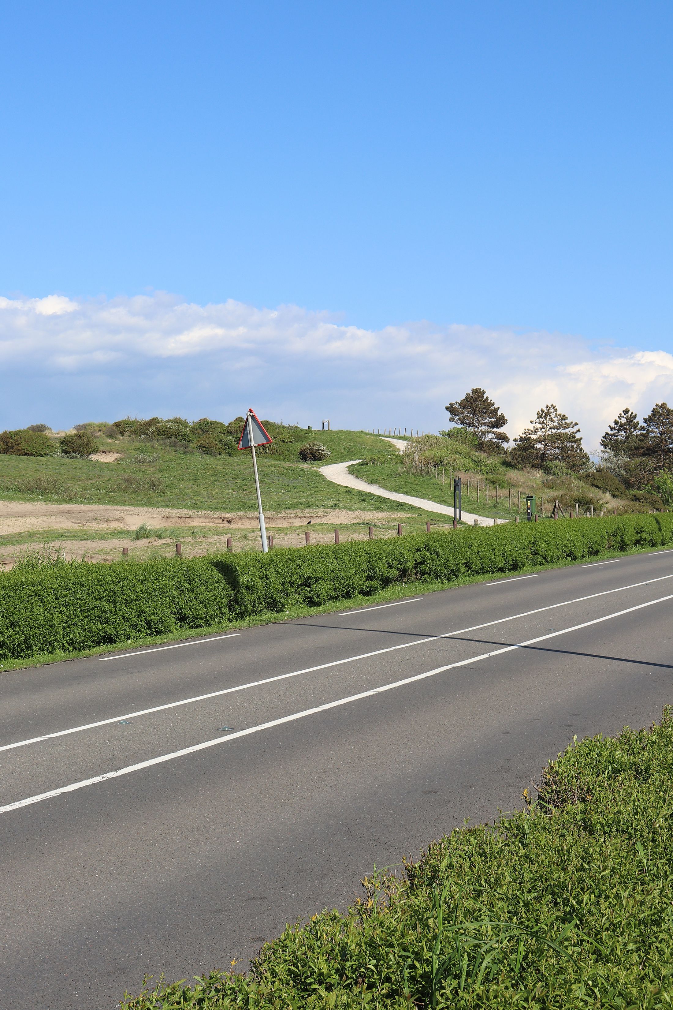
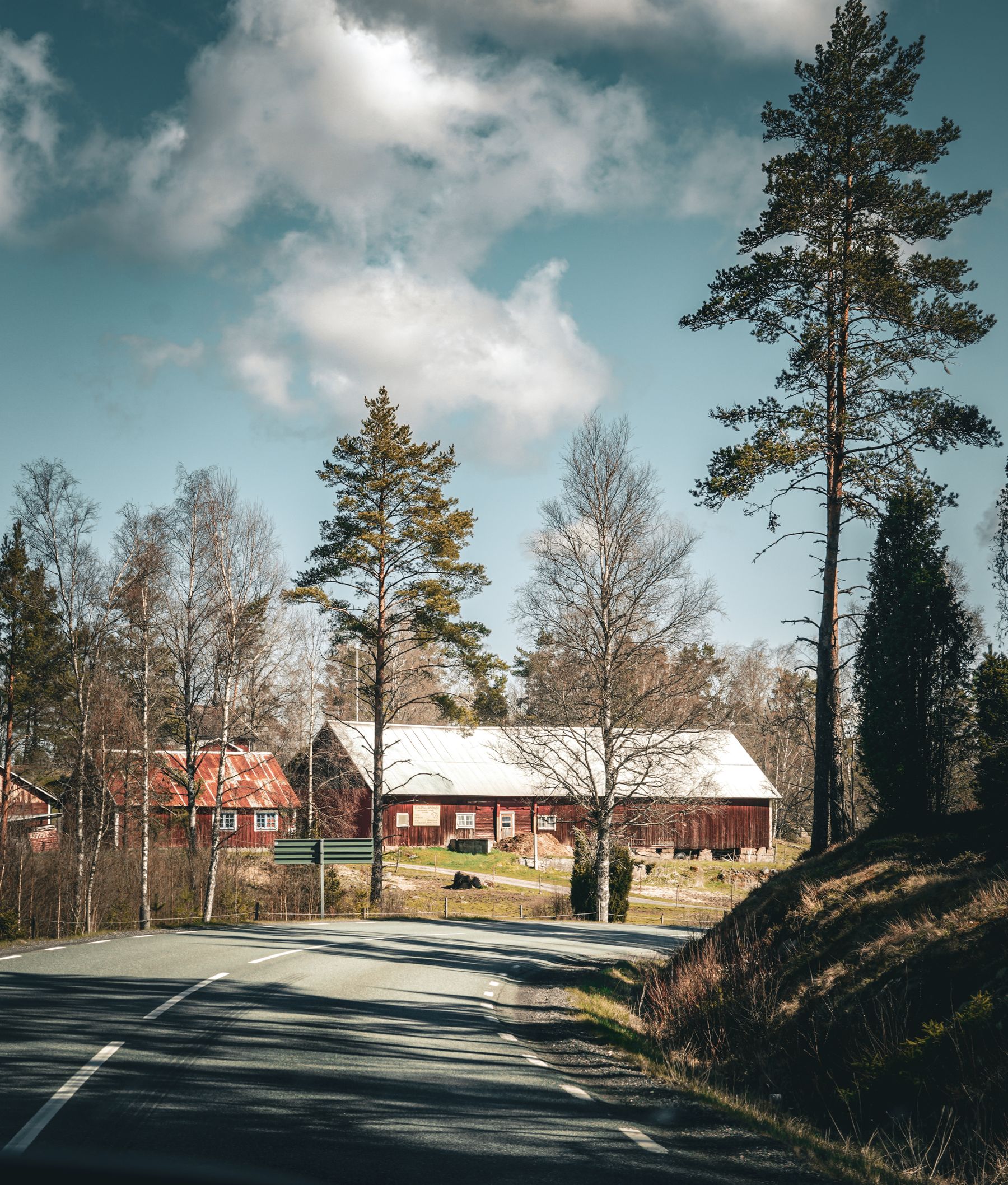
A raised crossing where the town tells its own story: fieldstone walls, valley air, and the old route into the ridge farms.
Best historic view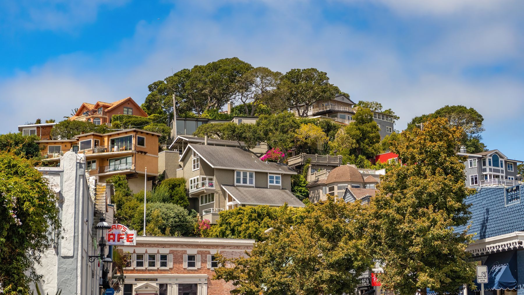
Narrow lanes, porch gardens, and houses tucked into the trees above the green, many still following the first survey lines.
Quiet after dusk A soft path through pine and maple that links the sign, the creek bend, and a small bench line maintained by residents.
Short loop